About Birkan KaderMostly maps.
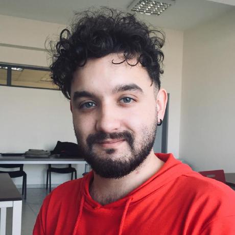
I’m Birkan Kader (Sifa Birkan Kader on paper), a software engineer in Ankara. Since 2019 I have been at HAVELSAN, building map software for defense systems: desktop GIS in Java and OpenGL, web maps in React and CesiumJS, route planning, terrain analysis and military symbology.
Outside work I build the tools I want to use: three iOS apps on the App Store, three JetBrains plugins in my own repository, a desktop notes app and a handful of AI developer tools. I like work you can measure. A shorter route, a frame that draws faster, a plugin a colleague installs on a Monday morning.
Off screen: art books and specialty coffee.
Career
Software engineer
HAVELSAN, Ankara
Dec 2020 to today
- Desktop GIS in Java and OpenGL.
- Led the move from Java 8 to Java 11 and brought JavaFX components into a Swing interface.
- Built route planning with A* and slope analysis on elevation data.
- Made tactical graphics render 50% faster and sped up the elevation analysis tools.
Candidate engineer
HAVELSAN, Ankara
Dec 2019 to Dec 2020
- New map components in React and CesiumJS.
- Map analysis features and their reporting screens.
- Cut the load time of map analysis by 20%.
Intern
HAVELSAN, Ankara
Jun to Sep 2019
- Drew NATO symbology as SVG and fixed how the Java pipeline rendered it.
- Added support for complex path elements to an in-house SVG parser.
- Contributed to a description language for tactical graphics.
Tools
- At work
- Java, OpenGL, Swing, JavaFX, React, CesiumJS, PostGIS, REST services
- On my own
- Swift and SwiftUI, Kotlin and the IntelliJ Platform, Rust and Tauri, TypeScript, Python
- Every day
- Git, Docker, Claude Code, a terminal I keep open all day
Shipped
App Store
JetBrains plugins
- AI Bridge0.7
- Arcade Machine0.4.4
- Haftanın Seyirliği0.3.2